
Use case — Monuments
Documentation without touching the monument.
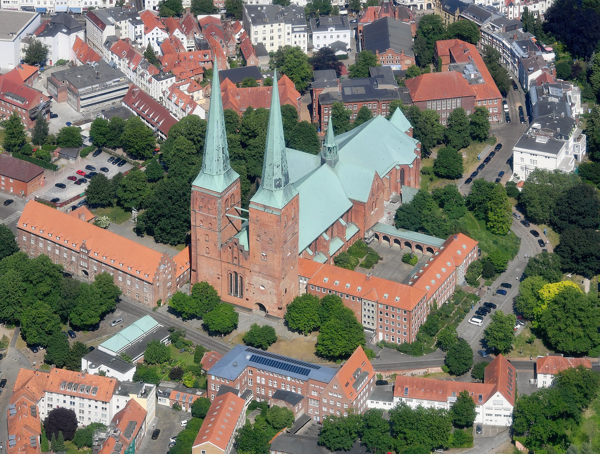
Churches, towers, ruins and memorials need regular condition records, but scaffolding a protected structure is slow, expensive and often restricted. A drone survey captures everything from a safe distance — with resolution high enough to read individual stones.
The challenge
What makes these buildings hard to look after.
Nothing may be touched
Conservation rules limit physical access. Drones survey entirely from the air — no fixings, no ladders, no contact with fragile fabric.
Funding requires evidence
Grants and conservation budgets are awarded on documented need. High-resolution, dated condition imagery is exactly the evidence assessors ask for.
Decay is gradual and silent
Eroding pointing, biological growth and failing flashings worsen invisibly between inspections. A dated baseline makes gradual decay measurable.
What you receive
A complete record, built for owners.
Non-invasive survey
Complete photographic coverage captured from the air by certified operators, planned around visitors and services.
Conservation-grade record
High-resolution imagery and condition scoring, structured for conservation plans, grant applications and heritage authorities.
Measurable 3D archive
A dimensionally accurate model of the monument — a permanent record of its state that can be re-measured for decades.
“The imagery went straight into our conservation plan and the grant application was approved without a single follow-up question.”
Find out what your building is really telling you.
Send us the location and a rough size. We come back within 24 hours with a fixed quote.
Request a quote